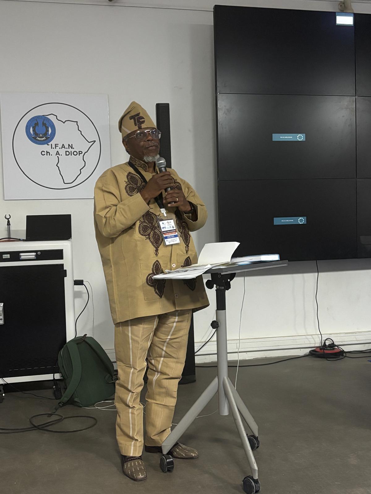
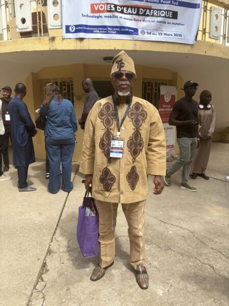
Toyin Falola
I am grateful to Colloque Point Sud, IFAN, and the University of Cheikh Anta Diop, who put together a workshop on “Africa’s Waterbodies: Technology, Mobility and Skill in a Changing World” and generously invited me to deliver the Keynote Address. I recently released a co-authored book on African Rivers, and I keep examining the metaphysics of water. I had previously argued that African pioneer feminists were the water goddesses. I do my intellectual bombshells, and like a crab, I retreat into my safe hole to hide in the waters. I am grateful to my multiple facilitators—Abdoulaye B. Ndiaye, Mamadou Bodian, Issa Fofana, Peter Lamberts, and Valeri Hansch. N’gna Traore and Jethron Akhalla—all excellent colleagues of extraordinary passion.
For centuries, Africa’s waterways have been an enduring but underappreciated infrastructure aiding intra- and inter- societal connections. Waterbodies in Africa are numerous, and they flow across different ecological zones to connect different forest areas to the savanna and the hinterlands to the coasts. These entities serve as barriers for protection and as dynamic conduits for the circulation of people, culture, ideologies, and goods. This is a reality that stands in stiff opposition to the notions brought about by foreign cartography systems, which seek to define African rivers, streams, lakes, and wetlands as rigid borders for the creation of disconnect between African entities.
Prior to the advent of external ideologues, there were direct connections between the economic, cultural, and technological advancements of African societies and African waterbodies. This connection was hinged upon the development of African reality around organized mobility, exchange, and adaptation through its waterbodies – this I have mentioned in one of my publications with Victor B. Angbah on African Rivers. Thus, for a better understanding of Africa and its contribution to global affairs, one must be reoriented about the connective abilities of African rivers, which enabled the continent to develop regional interaction and largely facilitated intercontinental interactions.
Before the colonial incursion into Africa, the continent’s waterbodies served as structures that defined settlements and propelled regional trade within Africa. For instance, in the central region of Africa, the Kongo River and its tributaries served as conduits of transportation through the dense forest zones. Without the presence of these water bodies, movement through this region would have become a hectic affair, but with their presence, the forest zone, which naturally would have been a barrier, easily transforms into a medium for interaction and exchange.
According to Jan Vansina in his work, “Equatorial Africa and Angola: Migrations and the Emergence of the First States,” the early trade routes in Africa were developed along coastal and riverine paths, with the fishermen being the first set of merchants with their transport of fish and items like pottery from one region to another through navigable waterways. Movements of this kind enabled the circulation of currencies like copper ingots, raffia cloth, and nzimbu shells. This is evidence that the riverine economy was well integrated into the broader system of value and exchange.
There are also records of similar movements across the Niger River, the Senegal river and the Great Lakes, where these waterbodies enabled the transportation of items like salt, kola, textiles, and other agricultural products for the purpose of interregional transactions. Through these aquatic activities, Africa developed and sustained urban centers. It is also important to note that as this mode of transportation and transaction evolved, African states began to develop sophisticated ideas to make movement easier.
This featured the development of canoes, ecology management techniques, and navigation skills that were based upon indigenous knowledge of currents, seasonal flooding, and aquatic systems. These systems continued to evolve as a means of responding to arising environmental conditions and economic requirements. This means that African states developed an ever-evolving repository of knowledge on water-based economies.
Embedded in this repository was also spiritual and cultural knowledge, which was often implemented for activities like the mapping of rivers, through cosmological deductions and ritual practices. This not only shows that African societies developed communal relationships with water bodies on their continent, but it also proves that these entities are not regarded as mere physical structures but instead are presented as lived environments with cultural meaning defined by human ingenuity.
African waterways are mediums for the consolidation of social organization and political authority – landing sites in riverine areas often develop as port towns and market hubs for traders, fishermen, and artisans to engage in commercial activities. Many of these polities often developed central governance and began to implement patrols, charge tolls, and taxes on commercial activities carried out on waterbodies within their proximity as a means of exhibiting their sovereignty.
It is also important to note that riverine trading activities persisted for centuries and even expanded, as evidenced by the trans-Saharan and, most importantly, the trans-Atlantic trade relations, where African states exploited water bodies to transport goods, especially human cargo. Within these processes, African states developed agency that enabled their societies to navigate, resist, and adapt to the ever-evolving global economic conditions.
From the colonial era, there was a disruption to the longstanding system of connection between African states through their water bodies. The Europeans introduced cartographic ideas into African society and defined the formerly fluid nature of African waterways along the lines of fixed boundaries. Also, the establishment of European chartered companies across African coasts, the implementation of steamships on African waterways, and the construction of rail-tracks from market hubs to the ocean all worked hand-in-hand to redesign aquatic commerce for extraction and the repression of riverine mobility within African states.

These developments, however, did not render African waterways useless. They remain vital even in contemporary Africa, where they are being adopted for development purposes. The waterways structures are being implemented in the contemporary era for modern infrastructure like dams – evidence of this includes developments along the Nile, Kongo, and Zambezi as African states seek to exploit the properties of these waterbodies for energy and irrigation purposes. However, James McCann, in his Africa’s High Modernism: Historical Ecologies of Climate Change and Hydrologies of Watersheds (Blue Nile and Zambezi), argues that contemporary African states often fail to properly implement indigenous, historical, and ecological knowledge in these constructions, which often leads to unintended environmental and social problems.
This problem could have emerged from occurrences like colonization of African knowledge, climate change, pollution, especially due to urbanization, and so on. However, these problems have not stopped African states and their development and navigation of evolving conditions with the implementation of modern technologies.
By understanding African waterways as means of connection and transportation of cultures, skills, goods, and ideologies. We better understand the capacity and creativity of African societies across precolonial, colonial, and postcolonial eras through their implementation of waterbodies for vital economic, societal, and infrastructural development.